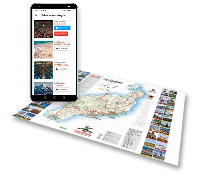
Lanzarote is one of the seven Canary Islands. This island is easy to get around by car as it is little more than 800 km². The distance between north and south is less than 60km, the island is flat and its highest peak is less than 700m above sea level.
The most outstanding element characterising Lanzarote is its volcanic appearance, making the island known as The Volcano Island. A great part of its physiognomy has been affected by historical eruptions from the 18th and 19th Centuries, covering a quarter of the terrain of the island. The main attraction of Lanzarote is its landscape, created by the eruption of volcanoes and also by the farmers who have traditionally respected their environment.
Agricultural activity exists in harmony with the recent lava flow where the cultivated land makes the most of the special weather conditions of the island. Viticulture is widely visible in the landscape but it reaches its maximum expression in the region of La Geria. Holes had to be dug in the volcanic ash until fertile land was found and small semicircular walls were built in order to protect the vine from the wind.
Lanzarote’s proximity to the African continent helped to develop an important fishing fleet to extract resources from the sea. Today, this significant fleet has been reduced to a number of small vessels which fish near the island. Fish is an important part of the diet of the people of Lanzarote.
The small Chinijo archipelago was declared a natural protected area under several categories due to its natural features. The water between these groups of islets has the largest marine fish reserves in the European Union.